
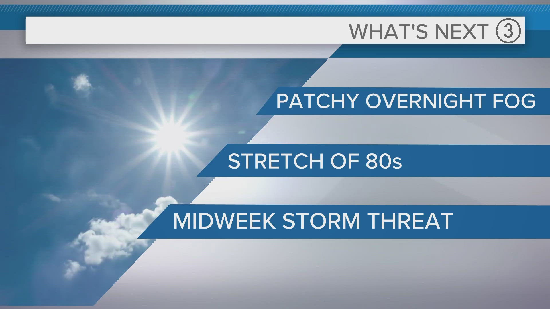
CLEVELAND — Overnight fog will be patchy is some spots tonight, especially in areas that received rain. Otherwise, Sunday will be filled with sunny skies and milder temperatures. Afternoon highs will make a run towards the 80-degree mark.


A warm finish to the weekend will set us up for a really warm start to the workweek. Mid-to-upper 80s are possible both Monday and Tuesday.
By midweek our attention will be towards an inbound storm system that could bring strong-to-sever storms. Wednesday afternoon into the evening appears to be the going timeline when things could pop. Keep close for additional updates. Enjoy the taste of summer!
THE 3 DAY FORECAST
TONIGHT: Patchy dense fog, east. Mostly clear. Upper 50s
SUNDAY: Mostly sunny skies. Low 80s
MONDAY: Mostly sunny. Some PM clouds. Mid 80s
TUESDAY: Mostly sunny skies. Mid/Upper 80s.
Here are some quick weather resources you can use:
---------------------------------------------------------------------------------------------------
Get more weather from the 3News Weather team of Betsy Kling (@betsykling), Matt Wintz (@WintzWeather), Anthony Copeland (@WeatherManAC) and Hollie Strano (@holliesmiles)
►MORE WEATHER | Get the latest weather headlines, video, photos & more
►ENVIRONMENT NEWS | Find out more about the world around us
►EARTH & SPACE NEWS | Learn more about our planet and outer space
►WEATHER FEATURES | Read our weather guides, storm reports & more
MORE WEATHER-RELATED HEADLINES: